
Professional Development Reflection – Geographic Information System (GEOB270)
Deduction from the Course (GEOB 270: Geographical Information System)
In this course, I studied how to operate Arc GIS and also learned how to effectively use GIS, when to use it, what to inform, which representation model to employ for truthful representation and many others.
Deduction from the Course (GEOB 270: Geographical Information System)
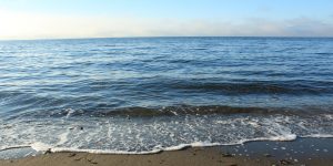
As a group, we conducted the projection into the future - visualizing and calculating the land loss due to sea level rise.
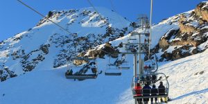
I conducted spatial analysis for the new ski resort that is under construction just outside the city of Squamish. Assessing the environmental impact.
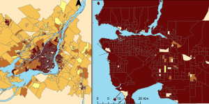
I evaluated housing affordability in two Canadian cities using Census Tracts (CT) and Census Dissemination Areas (DA)
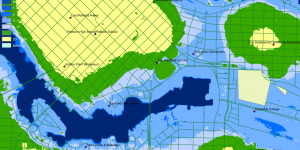
Analyzing the potential impact of storm surge in Metro Vancouver using GIS.